|
|
|
|

|
|
Palestinian National Authority website of the Palestinian Central Bureau of Statistics uses map with flag erasing Israel
|
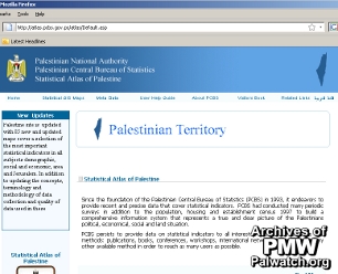
"Palestine" erases Israel on the official Palestinian National Authority site of the Palestinian Central Bureau of Statistics: www.pcbs.gov.ps.
The map, which includes all of the State of Israel and the text "Palestinian Territory," has been displayed on the website since Nov. 2008 (possibly earlier) and is currently still on the site (Feb. 2010).
|
|
PA official website
|
|
Feb. 1, 2010
|
|
|
|
|
|
|
|
|

|
|
1- PA schoolbooks and schools use maps erasing Israel
|
|
|

|
|
|
|

|
|
|

|
|
2- PA leaders with maps erasing all of Israel
|
|
|

|
|
|
|

|
|
|

|
|
3- Flags designate all of Israel as "Palestine"
|
|
|

|
|
|
|

|
|
|

|
|
4- PA government uses maps erasing all of Israel
|
|
|

|
|
|
|

|
|
|

|
|
5- Terror organization logos erasing all of Israel
|
|
|

|
|
|
|

|
|
|

|
|
6- PA-controlled media uses maps erasing Israel
|
|
|

|
|
|
|

|
|
|

|
|
7- PA cartoons use map that erases Israel
|
|
|

|
|
|
|

|
|
|

|
|
8- Public and private use of maps erasing Israel
|
|
|

|
|
|
|

|
|
|
|
|
|
|
|
|